Your Trusted Eyes
in the Sky.
Based right here in the Treasure Valley, we combine local expertise with cutting-edge drone technology to deliver results that matter.
Meet the Pilot
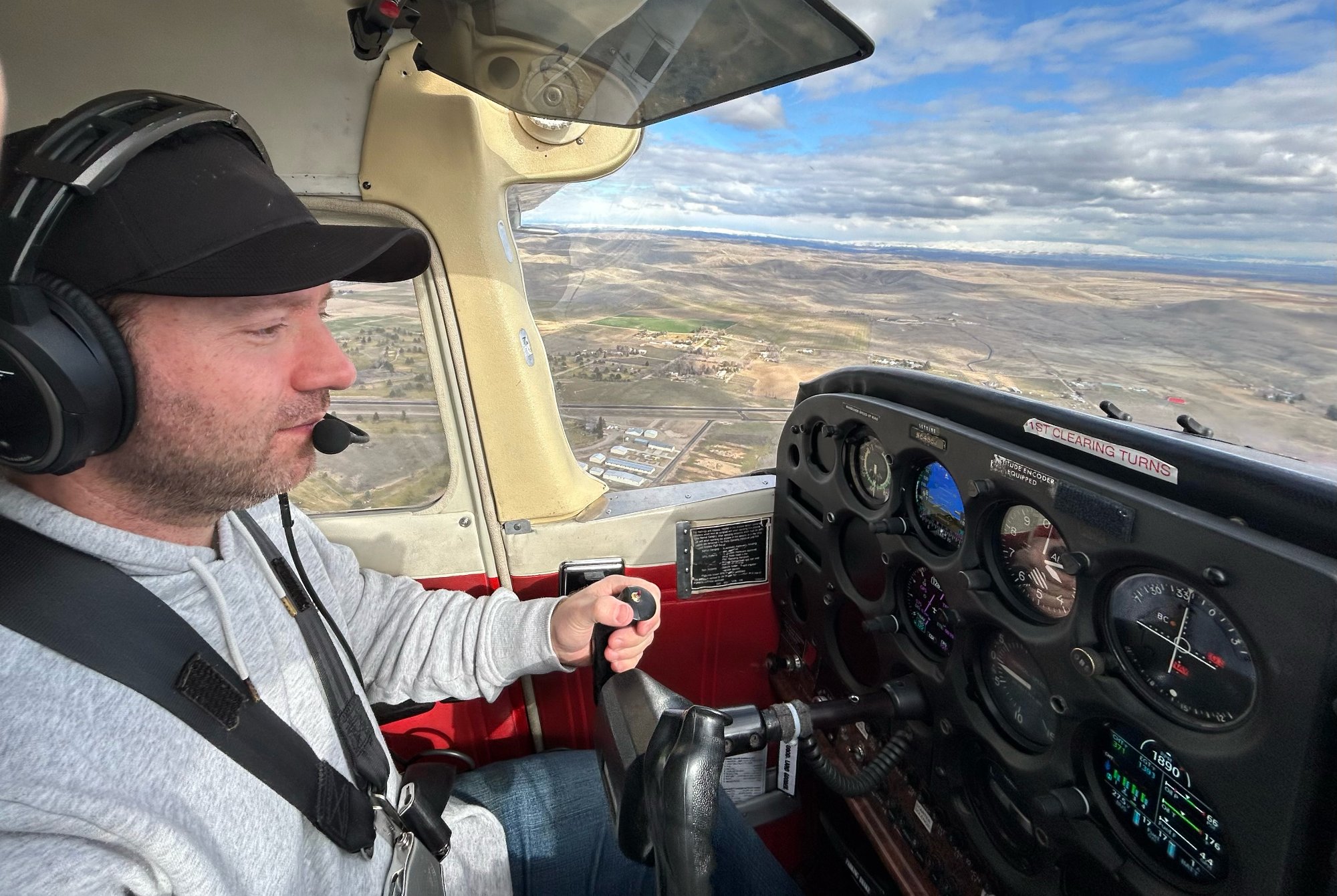
Behind every Ascend Drone Solutions flight is Michael — an FAA certificated private pilot with a genuine passion for aviation that goes well beyond drones. Whether at the controls of a Cessna over the foothills or piloting a drone above a construction site, the same commitment to safety, precision, and professionalism is always there.
When not in the air, Michael is driven by a love for technology and finding new ways to put it to work for his clients. But above everything else, family comes first — that is the reason he works hard, stays grounded, and treats every project like it matters. Because it does.
FAA Certificated Private Pilot
Holds both a Part 107 remote pilot certificate and a Private Pilot Certificate — real aviation knowledge and a safety-first mindset on every mission.
Fast Turnaround
Timing matters. Most projects are delivered within 24-48 hours so you can keep your workflow moving.
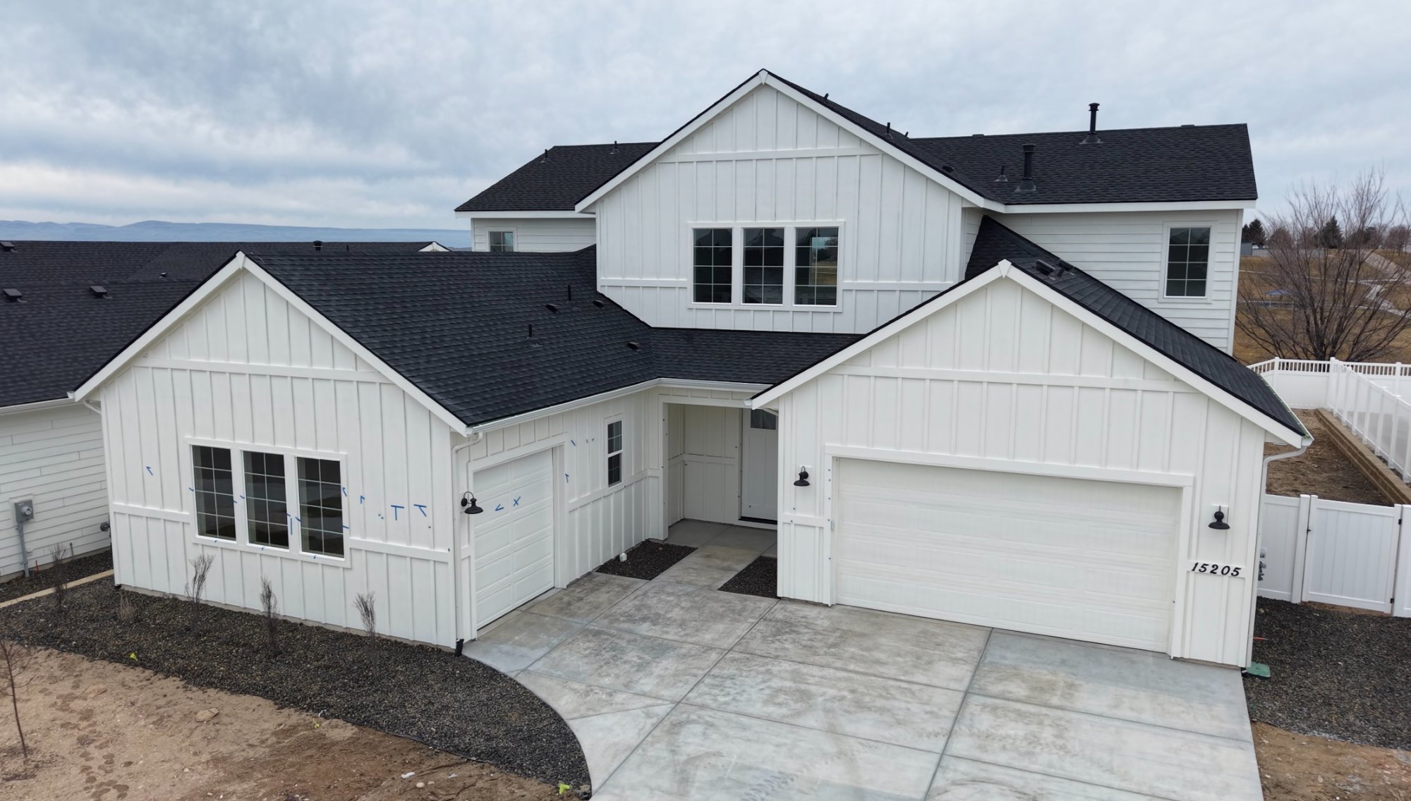
Local Treasure Valley Expertise
We know the terrain, the weather, and the airspace. From Boise to Nampa to Meridian, the valley is covered.